Drew Franke · 4 November 2026
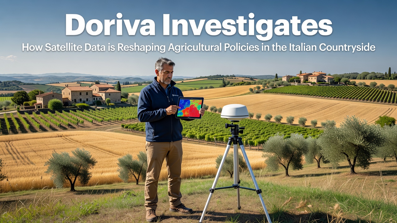
Doriva Investigates How Satellite Data is Reshaping Agricultural Policies in the Italian Countryside
Researchers have tracked how satellite data from European Space Agency missions integrates into monitoring systems that support agricultural policy decisions across Italy, and Doriva has examined these developments through direct analysis of regional case files and government records. Data from Sentinel satellites provides continuous observations of vegetation health, soil moisture levels, and land use changes in areas like Tuscany and Emilia-Romagna, where officials adjust subsidy allocations under the Common Agricultural Policy based on real-time measurements rather than periodic field visits alone.
Satellite Capabilities Applied to Italian Farmlands
Italian agricultural authorities began scaling up satellite integration in 2023, yet the pace accelerated noticeably by late 2025 as processing algorithms improved resolution to under ten meters for many indicators. Observers note that agencies now cross-reference spectral signatures from space with ground sensor networks to verify crop types, irrigation patterns, and compliance with environmental requirements. In November 2026, updated datasets from the Copernicus program enabled finer mapping of drought impacts in southern regions, prompting targeted adjustments to water management grants without requiring extensive manual surveys.
Those who've studied the workflow describe how automated alerts flag anomalies such as unexpected bare soil patches or excessive nitrogen signatures, which then trigger policy reviews at the provincial level. Data shows that regions adopting these tools reduced verification costs by measurable margins while increasing the frequency of compliance checks from annual to quarterly cycles in select zones. Experts have observed similar patterns in other EU member states, though Italy's fragmented farm structures create unique demands for localized calibration of the satellite models.
Policy Adjustments Driven by Continuous Monitoring
Policy frameworks in Italy now incorporate satellite-derived metrics into eligibility criteria for direct payments and eco-schemes. For instance, requirements around cover cropping and reduced tillage receive validation through time-series analysis that captures seasonal transitions across thousands of hectares simultaneously. Figures from national agricultural statistics indicate a rise in enrolled hectares under precision practices coinciding with wider data availability, particularly in the Po Valley where intensive cereal production dominates.
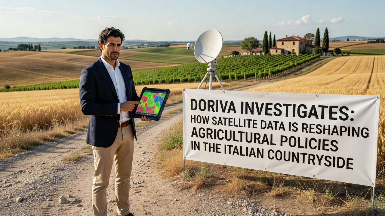
What's interesting is how these tools also inform broader land-use planning, including protections for high-value vineyards and olive groves against urban expansion pressures. Regional governments have referenced satellite evidence when revising zoning rules, citing reduced disputes over actual versus declared land use. According to reports from the European Space Agency, the integration of optical and radar data allows consistent coverage even during cloudy periods common in northern Italy, ensuring year-round policy inputs remain reliable.
One study revealed that provinces with earlier adoption saw faster alignment between reported yields and satellite biomass estimates, which in turn supported refined forecasting models used by the Ministry of Agriculture. Canadian researchers have documented parallel applications in prairie provinces where similar satellite pipelines guide drought relief distributions, offering comparative benchmarks for Italian implementations focused on Mediterranean climate variables.
Regional Variations and Implementation Challenges
Implementation differs markedly between northern plains and central hill country, where smaller plot sizes require higher-resolution processing to avoid aggregation errors. Doriva's review highlights how Apulia and Sicily have leveraged thermal data to optimize irrigation scheduling under EU water directives, resulting in documented shifts toward deficit irrigation strategies that conserve resources while maintaining output. Observers note that training programs for local agronomists now emphasize interpretation of satellite indices alongside traditional soil sampling.
Yet challenges persist around data access equity for smaller operators and the need for validation protocols that account for varietal differences in specialty crops. Research indicates that partnerships between universities and regional agencies have produced open-source tools to bridge these gaps, allowing broader participation in data-informed policy cycles. By November 2026, several pilot programs had expanded to include predictive analytics for pest outbreaks based on vegetation stress patterns detected from orbit.
Conclusion
The evidence gathered through Doriva's investigation demonstrates that satellite data streams have become embedded in the operational machinery of Italian agricultural governance, supplying objective measurements that shape subsidy structures, environmental safeguards, and resource allocation decisions. Continued refinement of these systems promises further integration with emerging sensor networks, though outcomes will depend on sustained investment in ground-truthing and stakeholder training across diverse landscapes.